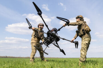
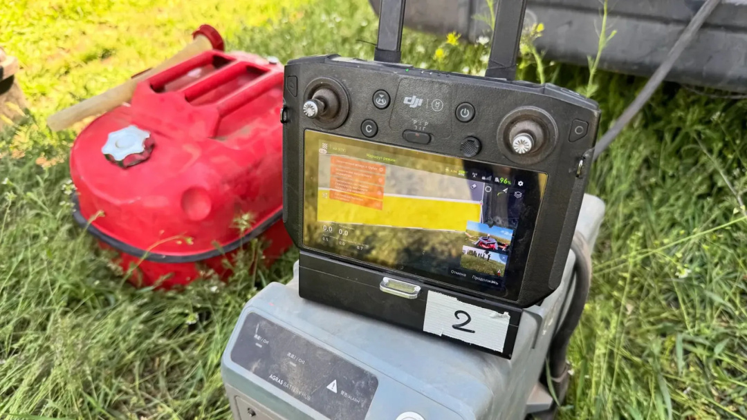
In Mykolaiv region, demining operators are using an industrial drone system equipped with a modern magnetometer to detect explosive ordnance.
This was reported by the Ministry of Defense, according to Ukrinform.
The ministry reminds that southern Ukraine is one of the most heavily mined regions in the country.
To effectively locate and identify mines and other explosive remnants of war, specialists are employing innovative tools.
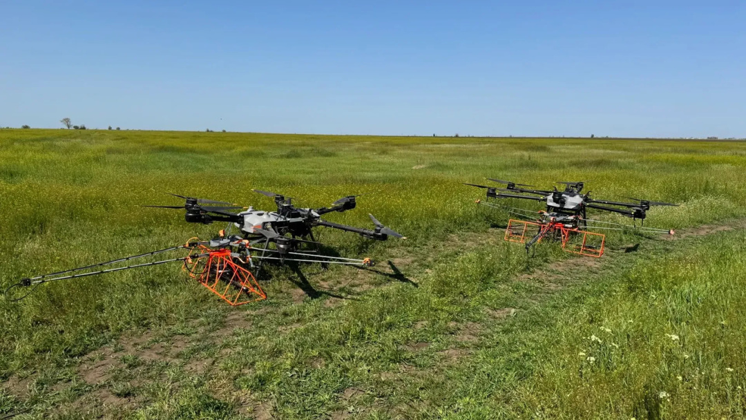
Specifically, in Mykolaiv region, an industrial drone is being used for remote detection of explosive objects during non-technical surveys of liberated areas. According to Volodymyr Manzhos, a representative of the Main Directorate for Mine Action, Civil Protection, and Environmental Safety, the use of this device has significantly improved the quality of non-technical surveys of potentially contaminated areas and enhanced the safety of the specialists involved.
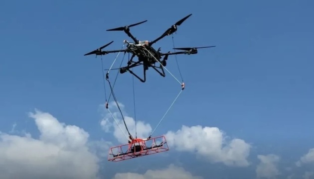
“The drone system with a magnetometer attached flies along a predefined trajectory over the surveyed area. During the flight, the device continuously records Earth’s magnetic field parameters within a 2-meter-wide strip, precisely linked to GPS coordinates,” the ministry stated.
This system can detect explosive objects not only on the surface but also underground. One such drone complex can survey more than 10 hectares of land per day.
After the drone scans the area, the collected data is processed using specialized software. Based on this, a map of the surveyed area is generated, marking possible locations of explosive objects. If necessary, mine action operators use this map when preparing reports on the results of the non-technical survey.
As reported by Ukrinform, as of early April, over 35,000 square kilometers of Ukrainian territory had been cleared of mines.
Photo: Ministry of Defense of Ukraine
Source: How southern Ukraine demined